Arrondissement of Tarbes
Arrondissements of Hautes-Pyrénées

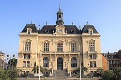
The arrondissement of Tarbes is an arrondissement of France in the Hautes-Pyrénées department in the Occitanie region. It has 212 communes. Its population is 140,961 (2016), and its area is 1,380.4 km2 (533.0 sq mi).
Excerpt from the Wikipedia article Arrondissement of Tarbes (License: CC BY-SA 3.0, Authors, Images).Arrondissement of Tarbes
Rue Cazaux, Tarbes
Geographical coordinates (GPS) Address Nearby Places Show on map
 Continue reading on Wikipedia
 Geographical coordinates (GPS)
| Latitude | Longitude |
|---|---|
| N 43.233333333333 ° | E 0.066666666666667 ° |
Address
Rue Cazaux
65000 Tarbes, Le Pradeau
Occitania, France
Open on Google Maps