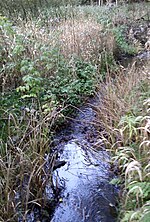
Hüttenstollen
HarzgerodeLower Harz Pond and Ditch SystemMining in Saxony-AnhaltMining in the HarzSelke basin

The Hüttenstollen, also Straßberger Hüttenstollen, was the central drainage adit in the Straßberg mining field and was also part of the Lower Harz Pond and Ditch System in the Harz Mountains of Germany. The adit lies at a depth of 50 m and is 750 m long. The pit water was drained into the Selke. The drainage ditches were the Straßberger Flösse and the Stollgraben.
Excerpt from the Wikipedia article Hüttenstollen (License: CC BY-SA 3.0, Authors, Images).Hüttenstollen
Am Lindenberg,
Geographical coordinates (GPS) Address Nearby Places Show on map
Geographical coordinates (GPS)
| Latitude | Longitude |
|---|---|
| N 51.618611111111 ° | E 11.051666666667 ° |
Address
Am Lindenberg 18
06493
Saxony-Anhalt, Germany
Open on Google Maps


