place

Bryker Woods, Austin, Texas
Austin, Texas stubsNeighborhoods in Austin, Texas
TXMap doton Austin
TXMap doton Austin

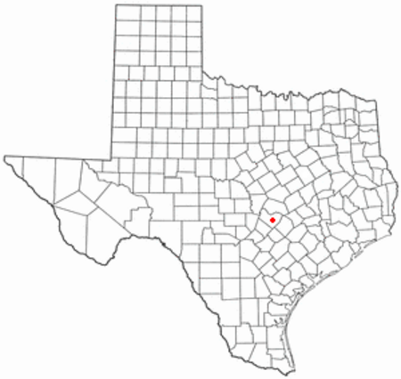
Bryker Woods is an older Austin, Texas, central city neighborhood developed in the 1930s, the center of which is approximately located at 30°18′17″N 97°45′06″W. It is predominantly a mix of young and old families and zoned as a single-family neighborhood composed of mostly small homes in good condition, most of which are over 50 years old. The Bryker Woods neighborhood is also part of the Old West Austin Historic District. Bryker Woods has its own elementary school, Bryker Woods Elementary, and is convenient to retail and recreational facilities. The neighborhood has many positive features, such as its trees and park and greenbelt access, convenient location, well-built homes, and community spirit. Historic bridges span Shoal Creek connecting Bryker Woods to the University of Texas campus and the central business district. While there are no large open spaces or areas of undeveloped land within the neighborhood, the natural environment of the neighborhood is one of its greatest assets. Within the neighborhood, mature trees line the streets and provide shade for the houses. Shoal Creek forms a part of the eastern border of the neighborhood and the hike and bike trail can be followed to Pease Park and beyond. Bailey Park is also within walking distance near Seton Hospital.

Excerpt from the Wikipedia article Bryker Woods, Austin, Texas (License: CC BY-SA 3.0, Authors, Images).

Bryker Woods, Austin, Texas
Kerbey Lane, Austin

Geographical coordinates (GPS) Address Nearby Places
placeShow on map

Wikipedia: Bryker Woods, Austin, TexasContinue reading on Wikipedia

Geographical coordinates (GPS)

Latitude Longitude
N 30.30483 ° E -97.7518 °
placeShow on map

Address

Bryker Woods Elementary School

Kerbey Lane 3309
78703 Austin
Texas, United States
mapOpen on Google Maps

TXMap doton Austin
TXMap doton Austin
Share experience

Nearby Places

Bailey Park
Bailey Park

Bailey Park is located in central Austin, Texas within the vicinity of the Seton Medical Center and St. Andrews Episcopal School. Located at 30°18′09″N 97°44′48″W, the small city park was created from several residential lots clustered together to make a common public green space. In 1935 F.G Rossener paid $320 in cash for lot #14 in the George W. Spears league of land. Bailey Park eventually expanded to cover 2.3 acres (9,300 m2) or about one small city lot by the late 1930s. At one time Bailey Park was central to the neighborhood east of Shoal Creek. Although the size of Bailey Park has not changed, the relative location has. Today Bailey Park is no longer bordered by residential lots and homes, rather the park is surrounded entirely by commercial property (hospital, a multistory office building etc.) and a private school. St. Andrew's Episcopal School lies between Bailey Park and the Shoal Creek Green Belt. Bailey Park continues to see much use. Many people take advantage of what this little hidden park has to offer. Notable park features include a flagstone covered pavilion built in 1936, park swings, picnic benches, rest rooms, children's wading pool and a large field for softball. Facilities seeing the most use are outdoor tennis courts (with lights), a sand volleyball court (also with lights). A volleyball game occurs almost every evening throughout most of the year. Bailey Park also has a wide open space for flying kites, practicing soccer and other activities requiring a very large grassy area. In addition to the majestic oaks surrounding the pavilion, a wide variety of trees have been planted along the perimeter of Bailey Park.