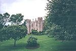
Arncott
Cherwell DistrictCivil parishes in OxfordshireUse British English from August 2015Villages in Oxfordshire

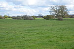
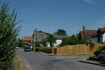
Arncott or Arncot is a village and civil parish about 3+1⁄2 miles (5.6 km) southeast of Bicester in Oxfordshire. The 2011 Census recorded the parish's population as 1,738.There are two neighbourhoods: Lower and Upper Arncott. Upper Arncott is the larger neighbourhood and includes the village green, recreation ground, shop and most of Arncott's housing. Lower Arncott is close to River Ray and includes the Tally Ho hotel and the Plough public house. Upper and Lower Arncott are separated by the Bicester Military Railway.
Excerpt from the Wikipedia article Arncott (License: CC BY-SA 3.0, Authors, Images).Arncott
Mill Lane, Cherwell District
Geographical coordinates (GPS) Address Nearby Places Show on map
Geographical coordinates (GPS)
| Latitude | Longitude |
|---|---|
| N 51.851 ° | E -1.113 ° |
Address
Mill Lane
Mill Lane
OX25 1PE Cherwell District
England, United Kingdom
Open on Google Maps
