Milecastle 27
Milecastles of Hadrian's WallWall, Northumberland

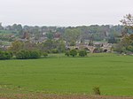
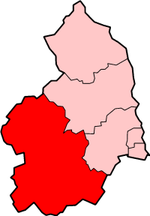
Milecastle 27 (Low Brunton) was a milecastle of the Roman Hadrian's Wall. It was located on the line of Hadrian's Wall, approximately midway between the A6079 and the River North Tyne. Its remains survive as a slight squarish platform with a maximum height of 0.4 metres (1.3 ft), but it is poorly defined to the north and east.
Excerpt from the Wikipedia article Milecastle 27 (License: CC BY-SA 3.0, Authors, Images).Milecastle 27
Front Street,
Geographical coordinates (GPS) Address Nearby Places Show on map
Geographical coordinates (GPS)
| Latitude | Longitude |
|---|---|
| N 55.024321 ° | E -2.131845 ° |
Address
Front Street
Front Street
NE46 4HH
England, United Kingdom
Open on Google Maps


