Zeeheldenbuurt
Amsterdam-WestNeighbourhoods of AmsterdamNorth Holland geography stubs

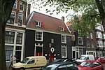
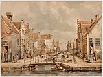
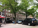
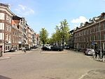
The Zeeheldenbuurt is a neighbourhood of Amsterdam, Netherlands. Located in the borough Amsterdam-West, it borders directly on the Westelijke Eilanden to the west. It lies between the Westerkanaal and the Westerdok; to the north is Houthaven and the IJ. The neighbourhood is served by the S100 road, and is sometimes confused with the nearby Admiralenbuurt.
Excerpt from the Wikipedia article Zeeheldenbuurt (License: CC BY-SA 3.0, Authors, Images).Zeeheldenbuurt
Brouwersgracht, Amsterdam Centrum
Geographical coordinates (GPS) Address Nearby Places Show on map
Geographical coordinates (GPS)
| Latitude | Longitude |
|---|---|
| N 52.383333333333 ° | E 4.8833333333333 ° |
Address
Brouwersgracht 939
1015 GK Amsterdam, Centrum
North Holland, Netherlands
Open on Google Maps


