Erlebach
Inner German borderThuringia geography stubsTowns in Thuringia
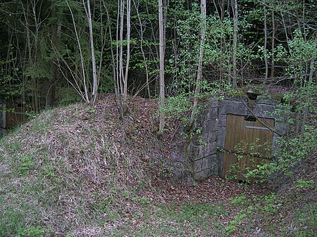
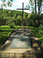
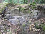
Erlebach was a village in Germany, founded in 1310 A D. It was destroyed by the East German authorities in 1986 as it stood too close to the Inner German border (part of the larger "Iron Curtain"), the border between the post-war states of East and West Germany. It lay in the extreme south of Thuringia in the district of Hildburghausen, only a few hundred metres away from the Thuringian-Bavarian border.In December 1986, the last family left the village. After that, all the houses were demolished and the land leveled. What remains is the village pond and a plaque on the old village site.
Excerpt from the Wikipedia article Erlebach (License: CC BY-SA 3.0, Authors, Images).Erlebach
Kolonnenweg, Heldburger Unterland
Geographical coordinates (GPS) Address Nearby Places Show on map
Geographical coordinates (GPS)
| Latitude | Longitude |
|---|---|
| N 50.253022222222 ° | E 10.785419444444 ° |
Address
Kolonnenweg
98663 Heldburger Unterland (Bad Colberg-Heldburg)
Thuringia, Germany
Open on Google Maps
