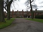
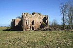
Branxton, Northumberland
Northumberland geography stubsVillages in Northumberland

Branxton is a village and civil parish in northern Northumberland, England. It lies about 3 miles (5 km) from the England-Scotland border and about 4 miles (6 km) from the Scottish border town of Coldstream, just off the A697 Newcastle-Edinburgh road. At the 2011 Census, the population of the parish was 123, increasing slightly from 121 at the 2001 Census.
Excerpt from the Wikipedia article Branxton, Northumberland (License: CC BY-SA 3.0, Authors, Images).Branxton, Northumberland
Geographical coordinates (GPS) Address Nearby Places Show on map
Geographical coordinates (GPS)
| Latitude | Longitude |
|---|---|
| N 55.6309 ° | E -2.1683 ° |
Address
TD12 4SW , Branxton
England, United Kingdom
Open on Google Maps


