Davidson's Mains
Areas of EdinburghUse British English from September 2017

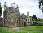
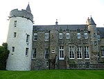
Davidson's Mains is a former village and now a district in the north-west of Edinburgh, Scotland. It is adjacent to the districts of Barnton, Cramond, Silverknowes, Blackhall and Corbiehill/House O'Hill. It was absorbed into Edinburgh as part of the boundary changes in 1920 and is part of the EH4 postcode area. Locals sometimes abbreviate the name to D'Mains or even simply Dmains.
Excerpt from the Wikipedia article Davidson's Mains (License: CC BY-SA 3.0, Authors, Images).Davidson's Mains
Cramond Road South, City of Edinburgh Davidson's Mains
Geographical coordinates (GPS) Address Nearby Places Show on map
Geographical coordinates (GPS)
| Latitude | Longitude |
|---|---|
| N 55.965388888889 ° | E -3.2743277777778 ° |
Address
Costa
Cramond Road South 38
EH4 6AA City of Edinburgh, Davidson's Mains
Scotland, United Kingdom
Open on Google Maps


