Bückeberg
Central UplandsNatural regions of the Weser-Leine UplandsRidges of Lower Saxony

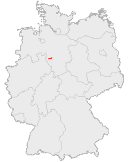
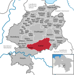
The Bückeberg (German pronunciation: [ˈbʏkəˌbɛʁk] (listen); also the Bückeberge) is a small hill range, up to 375 metres (1,230 ft) high, in the Calenberg Uplands between the Harrl and the Deister in central Germany, and is often considered part of the Weser Uplands. It lies in the district of Schaumburg, and stretches for some 20 km (12 mi) from west to east from Bückeburg and the village of Bad Eilsen towards Bad Nenndorf.
Excerpt from the Wikipedia article Bückeberg (License: CC BY-SA 3.0, Authors, Images).Bückeberg
Kammweg, Auetal
Geographical coordinates (GPS) Address Nearby Places Show on map
Geographical coordinates (GPS)
| Latitude | Longitude |
|---|---|
| N 52.259917 ° | E 9.211528 ° |
Address
Kammweg
Kammweg
31683 Auetal
Lower Saxony, Germany
Open on Google Maps


