County of Schaumburg
1110 establishments in Europe1110s establishments in the Holy Roman Empire1640 disestablishments in EuropeCounties of the Holy Roman EmpireLower Rhenish-Westphalian Circle

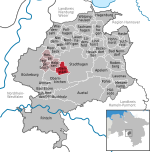
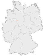
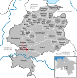
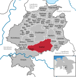
The County of Schaumburg (German: Grafschaft Schaumburg), until ca. 1485 known as Schauenburg, was a state of the Holy Roman Empire, located in the present German state of Lower Saxony. Its territory was more or less congruent with the present district Landkreis Schaumburg.
Excerpt from the Wikipedia article County of Schaumburg (License: CC BY-SA 3.0, Authors, Images).County of Schaumburg
Bückeberg, Obernkirchen
Geographical coordinates (GPS) Address Nearby Places Show on map
Geographical coordinates (GPS)
| Latitude | Longitude |
|---|---|
| N 52.25 ° | E 9.17 ° |
Address
Bückeberg
Bückeberg
31683 Obernkirchen
Lower Saxony, Germany
Open on Google Maps


