Laar, Beekdaelen
BeekdaelenHeerlenLimburg (Netherlands) geography stubsPages with Dutch IPAPages with Limburgish IPA ... and 1 more
Populated places in Limburg (Netherlands)

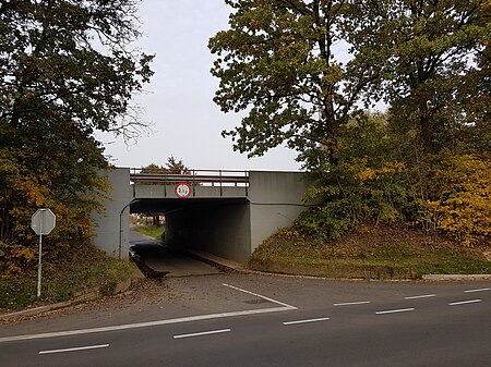
Laar (Dutch pronunciation: [ˈlaːr]; Limburgish: Laor [ˈlɔːʀ]) is a hamlet in the Dutch province of Limburg. It is located just to the south of the town Beekdaelen. The A76 motorway divides the hamlet in two parts: the largest part, to the west, is part of the municipality of Nuth; the eastern part is in municipality Heerlen. There are no place name signs and it consist of about 10 houses.
Excerpt from the Wikipedia article Laar, Beekdaelen (License: CC BY-SA 3.0, Authors, Images).Laar, Beekdaelen
Laar, Beekdaelen
Geographical coordinates (GPS) Address Nearby Places Show on map
Geographical coordinates (GPS)
| Latitude | Longitude |
|---|---|
| N 50.914444444444 ° | E 5.9025 ° |
Address
Laar 15
6363 CT Beekdaelen
Limburg, Netherlands
Open on Google Maps


