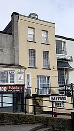
Bulwark, Chepstow
ChepstowGeography of MonmouthshireUse British English from January 2017

Bulwark is a predominantly residential area of Chepstow, Monmouthshire, Wales, largely developed during the twentieth century. The area is so named because of its Iron Age fort, which is now maintained as a public open space. Substantial development in the area began during the First World War, with housing being provided for the military and civilian workforce brought to the area for the National Shipyard no.1 at Chepstow.
Excerpt from the Wikipedia article Bulwark, Chepstow (License: CC BY-SA 3.0, Authors, Images).Bulwark, Chepstow
Geographical coordinates (GPS) Address Nearby Places Show on map
Geographical coordinates (GPS)
| Latitude | Longitude |
|---|---|
| N 51.630244 ° | E -2.673712 ° |
Address
, Chepstow
Wales, United Kingdom
Open on Google Maps


