Rowsley
Derbyshire DalesTowns and villages of the Peak DistrictVillages in Derbyshire

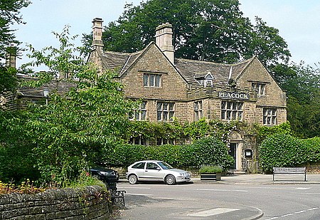
Rowsley () is a village on the A6 road in the English county of Derbyshire. The population as at the 2011 census was 507.It is at the point where the River Wye flows into the River Derwent and prospered from mills on both. The border of the Peak District National Park runs through the village west of the River Wye and immediately to the north of Chatsworth Road. The Peak District Boundary Walk goes through the village.
Excerpt from the Wikipedia article Rowsley (License: CC BY-SA 3.0, Authors, Images).Rowsley
Dale Road North, Derbyshire Dales
Geographical coordinates (GPS) Address Website Nearby Places Show on map
Geographical coordinates (GPS)
| Latitude | Longitude |
|---|---|
| N 53.19 ° | E -1.614 ° |
Address
Peak Village
Dale Road North
DE4 2EJ Derbyshire Dales
England, United Kingdom
Open on Google Maps


