Cam, Gloucestershire
Civil parishes in GloucestershireStroud DistrictUse British English from March 2015Villages in Gloucestershire

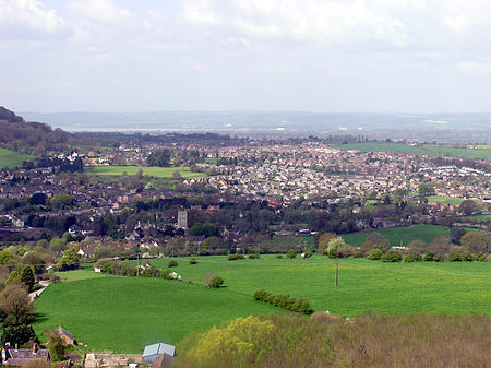
Cam is a large village and civil parish in Gloucestershire, England, situated on the edge of the Cotswolds and contiguous with the town of Dursley, north of Bristol and south of Gloucester. The Cotswold Way runs less than a mile from the village. Cam had 8,160 residents with 3,575 households in the 2011 census. Its population is actually larger than neighbouring Dursley, which is a town.
Excerpt from the Wikipedia article Cam, Gloucestershire (License: CC BY-SA 3.0, Authors, Images).Cam, Gloucestershire
Chapel Street,
Geographical coordinates (GPS) Address Nearby Places Show on map
Geographical coordinates (GPS)
| Latitude | Longitude |
|---|---|
| N 51.701111111111 ° | E -2.3641666666667 ° |
Address
Chapel Street
Chapel Street
GL11 5NU , Cam
England, United Kingdom
Open on Google Maps


