Schengen, Luxembourg

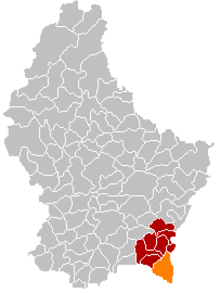
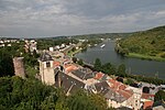
Schengen (Luxembourgish: [ˈʃæŋən] (listen)) is a small wine-making village and commune in far south-eastern Luxembourg, on the western bank of the river Moselle. The commune border includes the tripoint where the borders of Germany, France, and Luxembourg meet. After the mergers with Burmerange and Wellenstein in 2011, the commune has a population of 4,223 with an area of 31.42 square kilometres (12.13 sq mi). The largest settlement within the commune of Schengen is Remerschen after which the commune used to be named. The name of the commune was changed in 2006 to take advantage of the Schengen's name recognition after the signing of the Schengen Agreement there in 1985. Schengen Castle dates from 1390 but was almost completely rebuilt in the 19th century.
Excerpt from the Wikipedia article Schengen, Luxembourg (License: CC BY-SA 3.0, Authors, Images).Schengen, Luxembourg
Hanner der Schoul,
Geographical coordinates (GPS) Address Nearby Places Show on map
Geographical coordinates (GPS)
| Latitude | Longitude |
|---|---|
| N 49.47 ° | E 6.36 ° |
Address
Hanner der Schoul
Hanner der Schoul
5444
Luxembourg
Open on Google Maps


