Steele, Essen
Düsseldorf region geography stubsEssenFormer municipalities in North Rhine-Westphalia
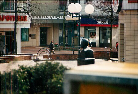
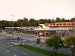
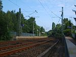
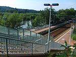
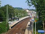
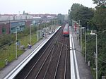
Steele is a suburb of Essen, Germany. It is bordered on the south by the Ruhr river, and by the suburbs of Kray in the north, Leithe in the northeast, Freisenbruch in the east, Horst in the southeast, Überruhr in the south, Bergerhausen in the southwest, and Huttrop in the west. It has two railway stations, Essen-Steele station and Essen-Steele Ost station. Steele became a city in the Ruhrgebiet (Ruhr area) in 1578, and in 1905 its population was 12,988. In 1929 it became a suburb of Essen. A Diet of the Holy Roman Empire was held here in the year 938 by the emperor Otto I.
Excerpt from the Wikipedia article Steele, Essen (License: CC BY-SA 3.0, Authors, Images).Steele, Essen
Grenoblestraße, Essen Steele (Stadtbezirk VII)
Geographical coordinates (GPS) Address Nearby Places Show on map
Geographical coordinates (GPS)
| Latitude | Longitude |
|---|---|
| N 51.449444444444 ° | E 7.0763888888889 ° |
Address
Kaiser-Otto-Platz
Grenoblestraße
45276 Essen, Steele (Stadtbezirk VII)
North Rhine-Westphalia, Germany
Open on Google Maps
