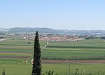
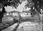
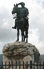
Beit She'arim necropolis (Hebrew: בֵּית שְׁעָרִים, "House of Gates") is an extensive necropolis of rock-cut tombs near the remains of the ancient Jewish town of Beit She'arim. In early modern times the site was the Palestinian village of Sheikh Bureik; it was depopulated in the 1920s as a result of the Sursock Purchases, and identified as Beit She'arim in 1936 by historical geographer Samuel Klein.The partially excavated archaeological site known as Beit She'arim National Park consists of the rock-cut tombs and some remains of the town itself. The site is managed by the National Parks Authority. It borders the town of Kiryat Tiv'on on the northeast and is located five kilometres west of the moshav named after the historical location in 1926, a decade prior to its archaeological identification. It is situated 20 km east of Haifa in the southern foothills of the Lower Galilee.
In 2015, the necropolis was declared a UNESCO World Heritage Site. The town's vast necropolis is carved out of soft limestone and contains more than 30 burial cave systems. When the catacombs were first explored by archaeologists in the 20th-century, the tombs had already fallen into great disrepair and neglect, and the sarcophagi contained therein had almost all been broken-into by grave-robbers in search for treasure. This pillaging was believed to have happened in the 8th and 9th centuries CE based on the type of terra-cotta lamps found in situ. The robbers also emptied the stone coffins of the bones of the deceased. During the Mameluk period (13th-15th centuries), the "Cave of the Coffins" (Catacomb no. 20) served as a place of refuge for Arab shepherds. Lieutenant C. R. Conder of the Palestine Exploration Fund visited the site in late 1872 and described one of the systems of caves, known as "The Cave of Hell" (Mŭghâret el-Jehennum). While exploring a catacomb, he found there a coin of Agrippa, which find led him to conclude that the ruins date back to "the later Jewish times, about the Christian era." Benjamin Mazar, during his excavations of Sheikh Abreik, discovered coins that date no later than the time of Constantine the Great and Constantius II.Although only a portion of the necropolis has been excavated, it has been likened to a book inscribed in stone. Its catacombs, mausoleums, and sarcophagi are adorned with elaborate symbols and figures as well as an impressive quantity of incised and painted inscriptions in Hebrew, Aramaic, Palmyrene, and Greek, documenting two centuries of historical and cultural achievement. The wealth of artistic adornments contained in this, the most ancient extensive Jewish cemetery in the world, is unparalleled anywhere.


