Lache
Areas of ChesterCheshire geography stubsUse British English from December 2016

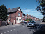
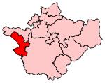
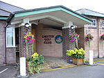
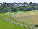
The Lache ( LAYTCH; sometimes simply Lache) is a housing estate in the city of Chester, in Cheshire, United Kingdom, with a population of around 10,000. It is located approximately 2 miles (3 km) southwest of the ancient city, with good local transport links en route to Saltney. The main streets are Cliveden Road, which runs through the centre of the estate, and Sycamore Drive. The area runs almost continuously into Westminster Park and Saltney.
Excerpt from the Wikipedia article Lache (License: CC BY-SA 3.0, Authors, Images).Lache
Barwoods Drive, Chester Lache
Geographical coordinates (GPS) Address Nearby Places Show on map
Geographical coordinates (GPS)
| Latitude | Longitude |
|---|---|
| N 53.174038 ° | E -2.921545 ° |
Address
Barwoods Drive
Barwoods Drive
CH4 8NU Chester, Lache
England, United Kingdom
Open on Google Maps


