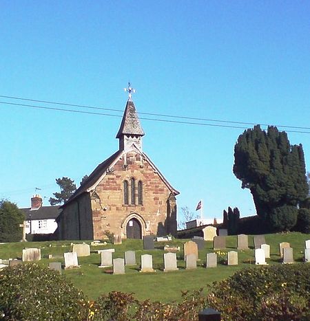
Coppenhall
PenkridgeUse British English from May 2015Villages in Staffordshire

Coppenhall is a small settlement in Staffordshire, England. Coppenhall lies 2 kilometres (1 mi) southwest of Stafford and 4 miles (6.4 km) NNW of Penkridge with Baron Stafford as lord of the manor. The parish of ~900 acres (3.6 km2) is bounded on the east by the Pothooks Brook. The centre of the village lies at 416 ft (127 m) above sea level, the ground rising from about 275 ft (84 m) in the east of the parish to over 475 ft (145 m) in the west.
Excerpt from the Wikipedia article Coppenhall (License: CC BY-SA 3.0, Authors, Images).Coppenhall
Long Lane, South Staffordshire
Geographical coordinates (GPS) Address Nearby Places Show on map
Geographical coordinates (GPS)
| Latitude | Longitude |
|---|---|
| N 52.76 ° | E -2.14 ° |
Address
Long Lane
Long Lane
ST18 9FB South Staffordshire
England, United Kingdom
Open on Google Maps


