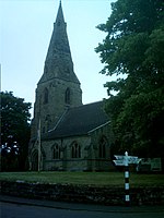
Cauldwell, Derbyshire
All accuracy disputesCivil parishes in DerbyshireDerbyshire geography stubsSouth Derbyshire DistrictVillages in Derbyshire

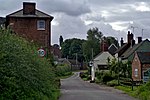
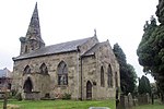
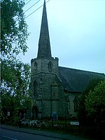
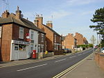
Cauldwell (pronounced "Cordal") is a small village and civil parish in South Derbyshire. Its streets are named Main Street, Church Lane and Sandy Lane. It has a school for children with special needs. It is 4 miles south east of Burton on Trent and nearby settlements are Linton, Rosliston, Coton Park and Botany Bay.
Excerpt from the Wikipedia article Cauldwell, Derbyshire (License: CC BY-SA 3.0, Authors, Images).Cauldwell, Derbyshire
Main Street, South Derbyshire Cauldwell
Geographical coordinates (GPS) Address Nearby Places Show on map
Geographical coordinates (GPS)
| Latitude | Longitude |
|---|---|
| N 52.752 ° | E -1.623 ° |
Address
Main Street
Main Street
DE12 6RR South Derbyshire, Cauldwell
England, United Kingdom
Open on Google Maps
