Lullington, Derbyshire
Civil parishes in DerbyshireSouth Derbyshire DistrictVillages in Derbyshire

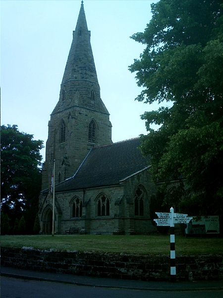
Lullington is a village and civil parish in the district of South Derbyshire in Derbyshire, England. The population of the civil parish at the 2011 Census was 121. It has an All Saints' Church, a village hall and a pub, the Colvile Arms (Charles Robert Colvile was living at Lullington Hall in the 1850s). Together with neighbouring Netherseal, it is the southernmost village in Derbyshire.
Excerpt from the Wikipedia article Lullington, Derbyshire (License: CC BY-SA 3.0, Authors, Images).Lullington, Derbyshire
Dag Lane, South Derbyshire Lullington
Geographical coordinates (GPS) Address Nearby Places Show on map
Geographical coordinates (GPS)
| Latitude | Longitude |
|---|---|
| N 52.715 ° | E -1.632 ° |
Address
Dag Lane
Dag Lane
DE12 8EQ South Derbyshire, Lullington
England, United Kingdom
Open on Google Maps


