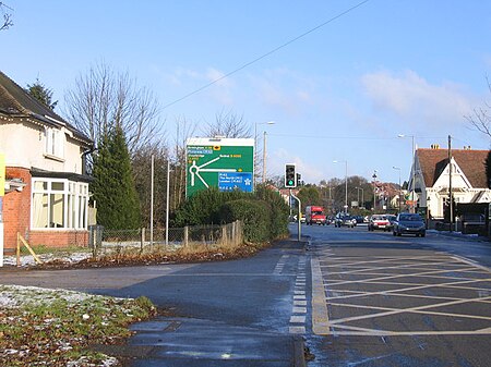
Lickey End
BromsgroveFormer civil parishes in WorcestershireVillages in WorcestershireWorcestershire geography stubs

Lickey End is a village in the Bromsgrove district of Worcestershire, England. It is situated just north of Bromsgrove, to the south-east of the junction of the A38 Birmingham Road and the M42 motorway, and has a population of 2,764. The Old Birmingham Road goes north out of the village, passing through Marlbrook before ending up at the village of Lickey. Lickey End developed during the early 1990s with the addition of a large modern housing estate. The Parish Council that was created in 2001 was abolished following a ten-year campaign, with effect from 31 December 2010 according to the Lickey End Parish Council Dissolution/Abolition Order of 17 December 2010.
Excerpt from the Wikipedia article Lickey End (License: CC BY-SA 3.0, Authors, Images).Lickey End
Alcester Road,
Geographical coordinates (GPS) Address Nearby Places Show on map
Geographical coordinates (GPS)
| Latitude | Longitude |
|---|---|
| N 52.35221 ° | E -2.044765 ° |
Address
Alcester Road
Alcester Road
B60 1JX , Lowes Hill
England, United Kingdom
Open on Google Maps


