Osleston
Derbyshire geography stubsHamlets in DerbyshireSouth Derbyshire DistrictTowns and villages of the Peak District

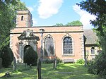
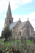
Osleston is a hamlet which together with Thurvaston makes up the parish of Osleston and Thurvaston. The civil parish population at the 2011 Census was 267. It is 7.5 miles (12.1 km) north west of Derby. In 1848, Osleston, (with Thurvaston), was a place, in the parish of Sutton-on-the-Hill It was recorded as having 1,588 acres (6.43 km2), of which 842 are in Orleston hamlet, and 746 in that of Thurvaston; in each is a small rural village, and the township also includes the scattered village of Cropper, where the Primitive Methodists have a place of worship.
Excerpt from the Wikipedia article Osleston (License: CC BY-SA 3.0, Authors, Images).Osleston
Osleston Lane, South Derbyshire Osleston and Thurvaston CP
Geographical coordinates (GPS) Address Nearby Places Show on map
Geographical coordinates (GPS)
| Latitude | Longitude |
|---|---|
| N 52.931 ° | E -1.632 ° |
Address
Osleston Lane
DE6 5BN South Derbyshire, Osleston and Thurvaston CP
England, United Kingdom
Open on Google Maps


