Chancery Lane

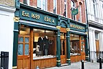
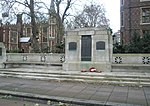
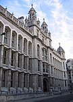
Chancery Lane is a one-way street situated in the ward of Farringdon Without in the City of London. It has formed the western boundary of the City since 1994, having previously been divided between the City of Westminster and the London Borough of Camden. The route originated as a 'new lane' created by the Knights Templar from their original 'old Temple' on the site of the present Southampton Buildings on Holborn, in order to access to their newly acquired property to the south of Fleet Street (the present Temple) sometime before 1161.Chancery Lane, numbered the B400 in the British road numbering scheme, connects Fleet Street at its southern origin with High Holborn. It gives its name to Chancery Lane Underground station which lies at the junction of Holborn and Gray's Inn Road, a short distance from Chancery Lane's northern end. Historically, the street was associated with the legal profession, an association which continues to the present day; however, consulting firms, ancillary businesses and the Maughan Library also occupy the street. Lincoln's Inn occupies most of the western side north of Carey Street.
Excerpt from the Wikipedia article Chancery Lane (License: CC BY-SA 3.0, Authors, Images).Chancery Lane
Chancery Lane, City of London
Geographical coordinates (GPS) Address Nearby Places Show on map
Geographical coordinates (GPS)
| Latitude | Longitude |
|---|---|
| N 51.5162 ° | E -0.1121 ° |
Address
Chancery Lane
WC2A 1JA City of London
England, United Kingdom
Open on Google Maps


