Ramsbottom
Former civil parishes in Greater ManchesterGeography of the Metropolitan Borough of BuryRamsbottomTowns in Greater ManchesterUnparished areas in Greater Manchester ... and 1 more
Use British English from August 2017

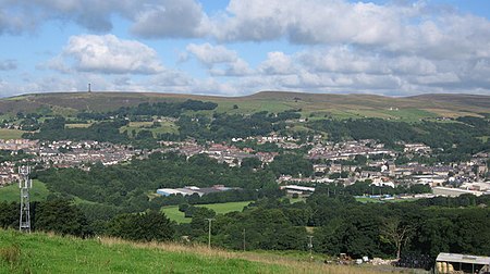
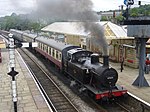
Ramsbottom is a market town in the Metropolitan Borough of Bury, Greater Manchester, England. The population at the 2011 census was 17,872.Historically in Lancashire, it is on the River Irwell in the West Pennine Moors, 3.9 miles (6.3 km) northwest of Bury, and 12 miles (19 km) of Manchester. Its name is believed to derive from Old English ramm and botm, meaning 'valley of the ram'. Its Victorian architecture, Pennine landscape and industrial heritage, including the East Lancashire Railway, contribute to heritage tourism in the town.
Excerpt from the Wikipedia article Ramsbottom (License: CC BY-SA 3.0, Authors, Images).Ramsbottom
Bridge Street,
Geographical coordinates (GPS) Address Nearby Places Show on map
Geographical coordinates (GPS)
| Latitude | Longitude |
|---|---|
| N 53.6484 ° | E -2.3169 ° |
Address
Mannings
Bridge Street 60
BL0 9AG , Nuttall
England, United Kingdom
Open on Google Maps


