Bennetland
East Riding of Yorkshire geography stubsUse British English from July 2014Villages in the East Riding of Yorkshire

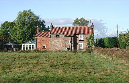
Bennetland is a hamlet in the East Riding of Yorkshire, England. It is situated approximately 19 miles (31 km) west of Hull city centre and 5 miles (8 km) east of Howden town centre. It lies less than 1 mile (1.6 km) west from Gilberdyke, and is south of the M62 motorway and just to the south of the B1230 road. Bennetland lies between the Selby Line and the Hull and Doncaster Branch and is served by Gilberdyke railway station. The hamlet forms part of the civil parish of Gilberdyke.
Excerpt from the Wikipedia article Bennetland (License: CC BY-SA 3.0, Authors, Images).Bennetland
Bennetland Lane,
Geographical coordinates (GPS) Address Nearby Places Show on map
Geographical coordinates (GPS)
| Latitude | Longitude |
|---|---|
| N 53.749305 ° | E -0.748885 ° |
Address
Bennetland Lane
Bennetland Lane
HU15 2TN , Gilberdyke
England, United Kingdom
Open on Google Maps


