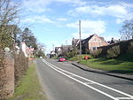
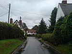
Bearley is a village and civil parish in the Stratford-on-Avon district of Warwickshire, England. The village is about five miles (8 km) north of Stratford-upon-Avon, bounded on the north by Wootton Wawen, on the east by Snitterfield, and on the south and west by Aston Cantlow. The western boundary is formed by a stream running out of Edstone Lake; it would seem that the land, now part of Edstone in Wootton Wawen, between the stream where it flows west from the lake and the road running east from Bearley Cross, was originally included in Bearley. The land within the parish rises gradually from a height of 216 ft (66 m), in the north-west at Bearley Cross, to about 370 ft (110 m), at the south-east corner of the parish, and is open except along its eastern boundary, where part of the extensive wood known as Snitterfield Bushes is included in Bearley.
At Bearley Cross the road running west to Alcester and east to Warwick is crossed by the main road running north-west from Stratford-upon-Avon to Henley-in-Arden. To the south of the Cross and the station a road runs south-east from the Stratford road, passing the Grange and the Manor House, to the church. This seems to be the Saltereswey which in 1249 formed one of the limits of the demesnes of Bearley, the others being the high road from Stratford to Henley and the Lochamwey, which may be identified with the road, passing the Methodist chapel, connecting the other two roads. At the 2001 Census the population was 758, falling to 724 at the 2011 Census.


