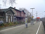
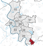
Düsseldorf-Hassels
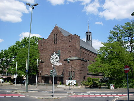
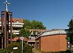
Hassels is an urban district in Düsseldorf, Germany. It was called "Hasselholt" (modern German Haselholz) meaning hazel wood until the 17th century, when it was shortened to its current name. Hassels belonged to the Knights of Eller and was later administered by the mayor of Benrath. In 1929 Hassels and Benrath were absorbed into Düsseldorf. Large housing developments were built in Hassels in the 1920s, the 1950s and in the 1970s. Hassels' 17th century church no longer exists. St. Antonius is a Catholic church built in 1929 and there is a Protestant church built in 1964. This article is based on a translation of an article from the German Wikipedia.
Excerpt from the Wikipedia article Düsseldorf-Hassels (License: CC BY-SA 3.0, Authors, Images).Düsseldorf-Hassels
Stargarder Straße, Dusseldorf Hassels (Stadtbezirk 9)
Geographical coordinates (GPS) Address Nearby Places Show on map
Geographical coordinates (GPS)
| Latitude | Longitude |
|---|---|
| N 51.179166666667 ° | E 6.8738888888889 ° |
Address
Stargarder Straße 32
40599 Dusseldorf, Hassels (Stadtbezirk 9)
North Rhine-Westphalia, Germany
Open on Google Maps
