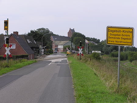
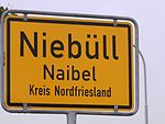
Dagebüll
Municipalities in Schleswig-HolsteinNordfrieslandPages including recorded pronunciationsPages with German IPA

Dagebüll (German: [ˈdaːɡəbʏl] ; Mooring North Frisian: Doogebel; Danish: Dagebøl) is a municipality located at the west coast of Schleswig-Holstein in the Nordfriesland district, Germany. Today's Dagebüll was created in 1978 as a merger of the municipalities of Fahretoft, Juliane-Marien-Koog and Waygaard. Dagebüll used to be a Hallig, the oldest houses were built on artificial dwelling hills which in parts can still be seen today. In 1704 the area was secured by sea dikes.
Excerpt from the Wikipedia article Dagebüll (License: CC BY-SA 3.0, Authors, Images).Dagebüll
Dorfstraße, Südtondern
Geographical coordinates (GPS) Address Nearby Places Show on map
Geographical coordinates (GPS)
| Latitude | Longitude |
|---|---|
| N 54.733333333333 ° | E 8.7166666666667 ° |
Address
Dorfstraße
Dorfstraße
25899 Südtondern, Dagebüll-Kirche
Schleswig-Holstein, Germany
Open on Google Maps


