Chepiwanoxet Point

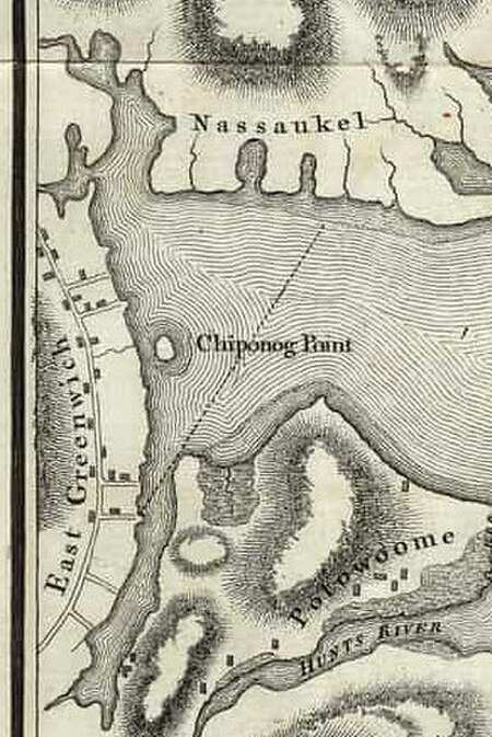
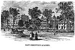
Chepiwanoxet is a neighborhood in Warwick, Rhode Island, with an island peninsula in Greenwich Bay, an arm of Narragansett Bay. The neighborhood straddles the Amtrak railroad lines, which lies just east of and parallel to the Post Road (US Route 1). Its boundaries are Neptune Street to the North, Alger Avenue to the South, Post Road to the West, and Greenwich Bay to the East. Chepiwanoxet Way, an underpass beneath the Amtrak lines, now serves as the only street access in and out of the neighborhood.Native Americans, who fished its island and shores, named this area between Post Road and Greenwich Bay "Chepiwanoxet." Settled as a colonial farm in early 18th century, it became a beach resort with hotel and shore dinner hall after the Chepiwanoxet railroad station opened in around 1837. Small lots were sold for summer cottages to upstate residents and for homes to workers in nearby Cowesett Hill Estates in late 19th century. Before World War I, the Gallaudet Aircraft Company built a causeway to the island for its seaplane factory. The Chepiwanoxet entrance sign states that Warwick bought the island in 1994 for a city park.
Excerpt from the Wikipedia article Chepiwanoxet Point (License: CC BY-SA 3.0, Authors, Images).Chepiwanoxet Point
Luitpold-Baumann-Straße,
Geographical coordinates (GPS) Address Nearby Places Show on map
Geographical coordinates (GPS)
| Latitude | Longitude |
|---|---|
| N 41.673333333333 ° | E -71.441666666667 ° |
Address
Rathaus
Luitpold-Baumann-Straße 1
97337
Bayern, Deutschland
Open on Google Maps


