Low Tatras National Park

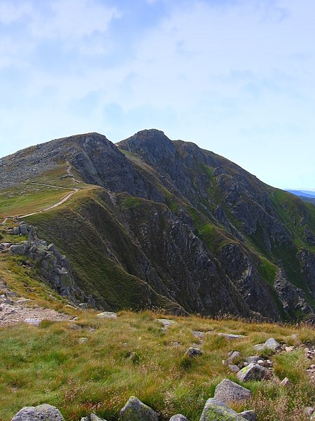
Low Tatras National Park (Slovak: Národný park Nízke Tatry; abbr. NAPANT) is a national park in Central Slovakia, between the Váh River and the Hron River valleys. The park and its buffer zone cover the whole Low Tatras mountain range. The National Park covers an area of 728 km² and its buffer zone covers an area of 1,102 km², which makes it the largest national park in Slovakia. It is divided between the Banská Bystrica Region (Banská Bystrica and Brezno districts), Žilina Region (Ružomberok and Liptovský Mikuláš districts) and Prešov Region (Poprad District). The highest peak is Ďumbier (2,043 m or 7,063 ft). Four major Slovak rivers rise below the Kráľova hoľa peak: Váh, Hron, Hnilec and Hornád.
Excerpt from the Wikipedia article Low Tatras National Park (License: CC BY-SA 3.0, Authors, Images).Low Tatras National Park
stará banská cesta,
Geographical coordinates (GPS) Address Nearby Places Show on map
Geographical coordinates (GPS)
| Latitude | Longitude |
|---|---|
| N 48.958964 ° | E 19.665914 ° |
Address
stará banská cesta
(Liptovský Ján)
Region of Žilina, Slovakia
Open on Google Maps


