Belá (river)
Europe river stubsRivers of SlovakiaSlovakia geography stubsTributaries of the Váh

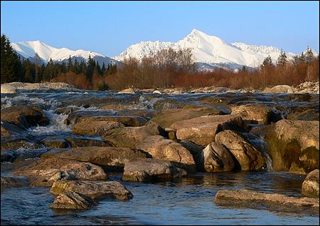
The Belá (Hungarian: Béla-patak), 22 kilometres (14 mi) in length, is a mountainous stream draining the headwaters of the Váh River basin in Tatra National Park, northern Slovakia. It is a right tributary, into which it flows at the town of Liptovský Hrádok. The Belá itself is formed by two tributaries, the streams Tichý potok and Kôprovský potok, whose sources are in the High Tatra mountains, and which have their confluence near Podbanské, part of the town of Vysoké Tatry. It is 23 km (14 mi) long and its basin size is 244 km2 (94 sq mi). The Belá is well suited to rafting and kayaking.
Excerpt from the Wikipedia article Belá (river) (License: CC BY-SA 3.0, Authors, Images).Belá (river)
Strojárska,
Geographical coordinates (GPS) Address Nearby Places Show on map
Geographical coordinates (GPS)
| Latitude | Longitude |
|---|---|
| N 49.0349 ° | E 19.7101 ° |
Address
Strojárska 334/7C
033 01 (Podtureň)
Region of Žilina, Slovakia
Open on Google Maps


