Kyneton

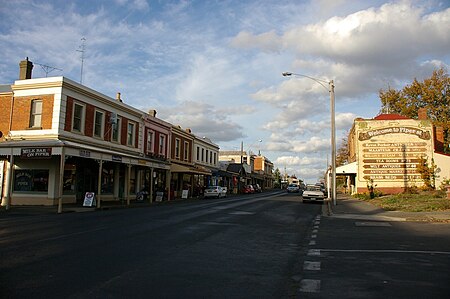
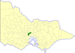
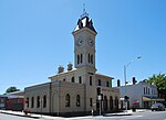
Kyneton ( KYNE-tən) is a town in the Macedon Ranges region of West Central Victoria, Australia. The Calder Freeway bypasses Kyneton to the north and east. Kyneton is on Dja Dja Wurrung, Taungurung and Wurundjeri Woi Wurrung country. The town has three main streets: Mollison Street, Piper Street and High Street. Piper Street has the oldest streetscape of these, and still has many of its original buildings. The railway station, about 86 kilometres (53 mi) from Melbourne on the Deniliquin railway line, is a terminus for two weekday peak-hour trains. The town is the council seat of the Shire of Macedon Ranges. At the 2021 census, Kyneton recorded a population of 7,513.
Excerpt from the Wikipedia article Kyneton (License: CC BY-SA 3.0, Authors, Images).Kyneton
Kyneton-Metcalfe Road, Shire of Macedon Ranges
Geographical coordinates (GPS) Address Nearby Places Show on map
Geographical coordinates (GPS)
| Latitude | Longitude |
|---|---|
| N -37.233333333333 ° | E 144.45 ° |
Address
Kyneton-Metcalfe Road
Kyneton-Metcalfe Road
3444 Shire of Macedon Ranges
Victoria, Australia
Open on Google Maps


