Ganborough
AC with 0 elementsGloucestershire geography stubsUse British English from March 2015Villages in Gloucestershire

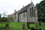
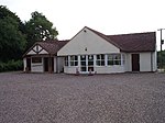
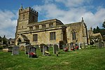
Ganborough is a hamlet located along the A424 road, approximately 2 miles NNW of Stow on the Wold. Ganborough is located in Gloucestershire, a county in South-West England. It also lies in the Cotswold Hills, a designated Area of Outstanding Natural Beauty. Although its boundaries are uncertain, the hamlet includes the Coach and Horses public house, owned by the local Donnington Brewery, and the surrounding houses. There is also a chambered tomb situated on a nearby hilltop.
Excerpt from the Wikipedia article Ganborough (License: CC BY-SA 3.0, Authors, Images).Ganborough
A424, Cotswold District Longborough
Geographical coordinates (GPS) Address Nearby Places Show on map
Geographical coordinates (GPS)
| Latitude | Longitude |
|---|---|
| N 51.96075 ° | E -1.7497222222222 ° |
Address
A424
GL56 0QZ Cotswold District, Longborough
England, United Kingdom
Open on Google Maps


