Colne Valley

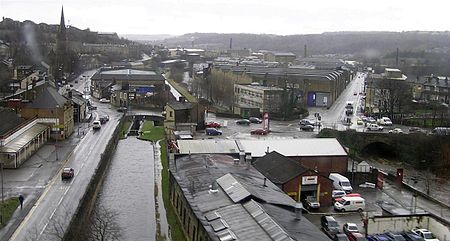
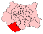
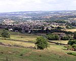
The Colne Valley is a steep sided valley on the east flank of the Pennine Hills in the English county of West Yorkshire. It takes its name from the River Colne which rises above the town of Marsden and flows eastward towards Huddersfield. The name is used to describe that section of the valley between its source and Huddersfield at the point where the River Holme joins the Colne. The name can describe the whole valley of the Colne, including the section through Huddersfield its confluence with the River Calder at Cooper Bridge. Using the more common definition, the Colne Valley includes the towns and villages of Marsden, Slaithwaite, Linthwaite, Milnsbridge, Scapegoat Hill, Longwood and Golcar.
Excerpt from the Wikipedia article Colne Valley (License: CC BY-SA 3.0, Authors, Images).Colne Valley
Dunnock Fold, Kirklees
Geographical coordinates (GPS) Address Nearby Places Show on map
Geographical coordinates (GPS)
| Latitude | Longitude |
|---|---|
| N 53.6272 ° | E -1.8624 ° |
Address
Dunnock Fold
HD7 4LB Kirklees
England, United Kingdom
Open on Google Maps


