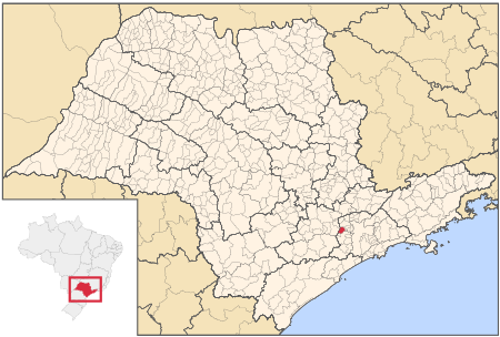
Itapevi
Municipalities in São Paulo (state)

Itapevi is a Brazilian municipality in the state of São Paulo located in the western part of the Greater São Paulo metropolitan area (35 km to the west of São Paulo city). The population is 240,961 (2020 est.) in an area of 82.7 km2.Its boundaries are Santana de Parnaíba to the north, Barueri in the northeast, Jandira in the east, Cotia to the south, Vargem Grande Paulista to the southwest and São Roque to the west. The city is served by Castello Branco and Raposo Tavares highways and also by Line 8 of CPTM, the São Paulo Metropolitan Railway Company.
Excerpt from the Wikipedia article Itapevi (License: CC BY-SA 3.0, Authors, Images).Itapevi
Rua Lazára Siqueira, Itapevi Centro (Itapevi)
Geographical coordinates (GPS) Address Phone number Nearby Places Show on map
Geographical coordinates (GPS)
| Latitude | Longitude |
|---|---|
| N -23.548888888889 ° | E -46.934166666667 ° |
Address
Paróquia São Judas Tadeu
Rua Lazára Siqueira 01
06653-015 Itapevi, Centro (Itapevi)
São Paulo, Brazil
Open on Google Maps


