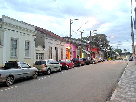
Cotia
1856 establishments in BrazilCotiaPopulated places established in 1856

Cotia is a municipality in the state of São Paulo in Brazil. It is part of the Metropolitan Region of São Paulo. The population is 253,608 (2020 est.) in an area of 323.99 km². The city is at an elevation of 853 m. Cotia is linked with the Rodovia Raposo Tavares highway.
Excerpt from the Wikipedia article Cotia (License: CC BY-SA 3.0, Authors, Images).Cotia
Rua Etelvina, Cotia Vila Mont Serrat (Cotia)
Geographical coordinates (GPS) Address Show on map
Geographical coordinates (GPS)
| Latitude | Longitude |
|---|---|
| N -23.604166666667 ° | E -46.919444444444 ° |
Address
Rua Etelvina
Rua Etelvina
06717-250 Cotia, Vila Mont Serrat (Cotia)
São Paulo, Brazil
Open on Google Maps