Kilpin Pike
East Riding of Yorkshire geography stubsUse British English from December 2015Villages in the East Riding of Yorkshire

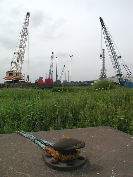
Kilpin Pike is a village in the East Riding of Yorkshire, England. It is situated approximately 2 miles (3.2 km) north of Goole town centre, about 1 mile (1.6 km) south of Howden, and lies on the north bank of the River Ouse. The village forms part of the civil parish of Kilpin. In 1823 Kilpin Pike was in the parish of Howden and the Wapentake and Liberty of Howdenshire. Occupations at the time included two shopkeepers, a butcher, a coal merchant, and the landlords of the Blue Bell and Admiral Nelson public houses.
Excerpt from the Wikipedia article Kilpin Pike (License: CC BY-SA 3.0, Authors, Images).Kilpin Pike
Geographical coordinates (GPS) Address Nearby Places Show on map
Geographical coordinates (GPS)
| Latitude | Longitude |
|---|---|
| N 53.732986 ° | E -0.846996 ° |
Address
DN14 7RD
England, United Kingdom
Open on Google Maps


