Nangana, Victoria
Shire of CardiniaTowns in Victoria (state)Use Australian English from August 2019Victoria (state) geography stubs
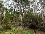
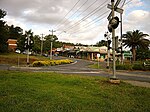
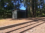
Nangana is a bounded rural locality 56 kilometres (35 mi) from Melbourne, in Victoria, Australia, located within the Shire of Cardinia local government area. Nangana recorded a population of 54 at the 2021 census.The town has no post office or official town centre. Like Mount Burnett, Nangana shares its postcode (3781) with Cockatoo.
Excerpt from the Wikipedia article Nangana, Victoria (License: CC BY-SA 3.0, Authors).Nangana, Victoria
Healesville - Koo Wee Rup Road, Melbourne
Geographical coordinates (GPS) Address Nearby Places Show on map
Geographical coordinates (GPS)
| Latitude | Longitude |
|---|---|
| N -37.866666666667 ° | E 145.53333333333 ° |
Address
Healesville - Koo Wee Rup Road
Melbourne
Victoria, Australia
Open on Google Maps


