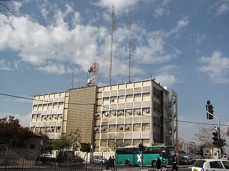
Romema
1948 Arab–Israeli War1948 disestablishmentsNeighbourhoods of JerusalemVillages depopulated during the Arab–Israeli conflict

Romema (Hebrew: רוממה, lit. Uplifted) is a neighbourhood in northwest Jerusalem, just off the Tel Aviv-Jerusalem highway at the main entrance to the city. It occupies the highest hill in Jerusalem. Romema is bordered by Kiryat Mattersdorf and Mekor Baruch.
Excerpt from the Wikipedia article Romema (License: CC BY-SA 3.0, Authors, Images).Romema
Ha'Or, Jerusalem Romema
Geographical coordinates (GPS) Address Nearby Places Show on map
Geographical coordinates (GPS)
| Latitude | Longitude |
|---|---|
| N 31.79 ° | E 35.204 ° |
Address
Ha'Or 1
9432531 Jerusalem, Romema
Jerusalem District, Israel
Open on Google Maps


