Hochelaga-Maisonneuve (electoral district)

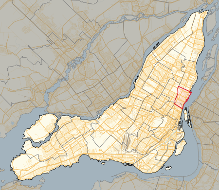
Hochelaga-Maisonneuve is a provincial electoral district in Quebec, Canada, that elects members to the National Assembly of Quebec. The district is located within Montreal, and its territory mostly covers the borough of Mercier–Hochelaga-Maisonneuve, and also parts of Rosemont–La Petite-Patrie, Ville-Marie and Le Plateau-Mont-Royal boroughs. It is bordered to the east by the Canadian National Railway yard, to the south by the Saint Lawrence River, to the north by Rachel and Sherbrooke Streets and to the west by Frontenac Street. It was created for the 1989 election from parts of Maisonneuve and Sainte-Marie electoral districts. In the change from the 2001 to the 2011 electoral map, its territory was unchanged.
Excerpt from the Wikipedia article Hochelaga-Maisonneuve (electoral district) (License: CC BY-SA 3.0, Authors, Images).Hochelaga-Maisonneuve (electoral district)
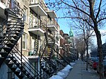
Avenue de La Salle, Montreal Mercier–Hochelaga-Maisonneuve
Geographical coordinates (GPS) Address Nearby Places Show on map
Geographical coordinates (GPS)
| Latitude | Longitude |
|---|---|
| N 45.552 ° | E -73.541 ° |
Address
Avenue de La Salle 2046
H1V 1K2 Montreal, Mercier–Hochelaga-Maisonneuve
Quebec, Canada
Open on Google Maps


