King Street, Bristol
Buildings and structures in BristolScheduled monuments in BristolStreets in BristolUse British English from February 2023

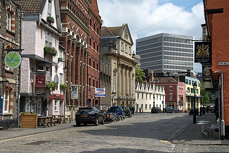
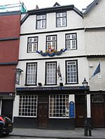
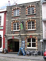
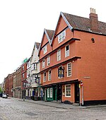
King Street is a 17th-century street in the historic city centre of Bristol, England. The street lies just south of the old town wall and was laid out in 1650 to develop the Town Marsh, the area then lying between the south or Marsh Wall and the Avon. The north side was developed first and the south side in 1663, when the street was named after Charles II. The section of the city wall is a Scheduled Ancient Monument.
Excerpt from the Wikipedia article King Street, Bristol (License: CC BY-SA 3.0, Authors, Images).King Street, Bristol
King Street, Bristol City Centre
Geographical coordinates (GPS) Address Nearby Places Show on map
Geographical coordinates (GPS)
| Latitude | Longitude |
|---|---|
| N 51.4518 ° | E -2.5946 ° |
Address
King Street
King Street
BS1 4EQ Bristol, City Centre
England, United Kingdom
Open on Google Maps


