Peckforton Hills

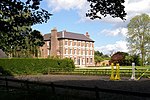
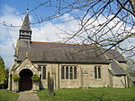
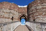
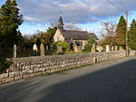
The Peckforton Hills are a sandstone ridge running broadly northeast–southwest in the west of the English county of Cheshire. They form a significant part of the longer Mid Cheshire Ridge which extends southwards from Frodsham towards Malpas. Bulkeley Hill (grid reference SJ525552) stands at the south end, and the ridge is continued southwards by Bickerton Hill. The high points are Peckforton Point (SJ529557; 203 m), immediately north of Bulkeley Hill (224m), and Stanner Nab (SJ531573; 200 m), towards the northern end of the ridge. Settlements around the hills include Burwardsley to the west, Beeston to the north, Peckforton and Bunbury to the east and Bulkeley to the south. On Ascension Day the parishioners of St Boniface, Bunbury walk to the 200m summit of Stanner Nab for a service as the sun sets.
Excerpt from the Wikipedia article Peckforton Hills (License: CC BY-SA 3.0, Authors, Images).Peckforton Hills
Stone House Lane,
Geographical coordinates (GPS) Address Nearby Places Show on map
Geographical coordinates (GPS)
| Latitude | Longitude |
|---|---|
| N 53.1 ° | E -2.7 ° |
Address
Stone House Lane
Stone House Lane
CW6 9TJ
England, United Kingdom
Open on Google Maps


