Springvale Junction
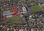
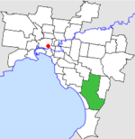
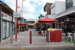
Springvale Junction is a road intersection in Melbourne. It is situated on the boundary of the suburbs of Mulgrave and Springvale. Springvale junction forms the intersection of four major roads, two of which terminate: Springvale Road: along with Stud Road eight kilometres to the east and Warrigal Road four kilometres to the west, Springvale Road is the busiest and most unsafe north-south thoroughfare in the eastern suburbs, with speed limits of 70 km/h and 80 km/h, and a six-lane dual carriageway. Princes Highway: along with the Monash Freeway, the major thoroughfare from the south-eastern suburbs into the city, running northwest-southeast. Like Springvale Road, it is a six-lane dual carriageway. Police Road/Centre Road: two-lane single carriageway running east-west. These roads are slightly off-set from the main intersection.Each of the six main corners of the intersection has shops or shopping centres on it.
Excerpt from the Wikipedia article Springvale Junction (License: CC BY-SA 3.0, Authors).Springvale Junction
Princes Highway, Melbourne Mulgrave
Geographical coordinates (GPS) Address External links Nearby Places Show on map
Geographical coordinates (GPS)
| Latitude | Longitude |
|---|---|
| N -37.932732 ° | E 145.156088 ° |
Address
Springvale Junction
Princes Highway
3170 Melbourne, Mulgrave
Victoria, Australia
Open on Google Maps


