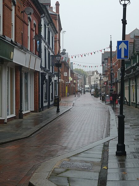
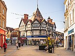
Chester Street, Wrexham
Open Government Licence attributionStreets in WalesUse British English from February 2024Wrexham

Chester Street (Welsh: Stryt Caer; rarely Stryd Caer) is a street in Wrexham city centre, North Wales. It was once a main north–south road on the edge of the centre of Wrexham. The street has several listed buildings, as well as Wrexham's civic centre containing various council, memorial and leisure buildings, Coleg Cambria's Yale campus, Tŷ Pawb (former People's Market) and various historical buildings now demolished.
Excerpt from the Wikipedia article Chester Street, Wrexham (License: CC BY-SA 3.0, Authors, Images).Chester Street, Wrexham
Chester Street, Wrexham Caia Park
Geographical coordinates (GPS) Address Phone number Website Nearby Places Show on map
Geographical coordinates (GPS)
| Latitude | Longitude |
|---|---|
| N 53.0467 ° | E -2.9916 ° |
Address
Emzcakes Creative Café
Chester Street 45
LL13 8BA Wrexham, Caia Park
Wales, United Kingdom
Open on Google Maps


