Hökarängen

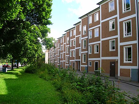
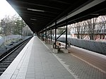
Hökarängen is a district in the Farsta borough of southern Stockholm. It neighbours Fagersjö to the west, Farsta to the south, Sköndal to the east and Gubbängen to the north. As of 2017, the total population of Hökarängen is 9,564The district was one of the first examples of the many new suburbs built along the new subway in the decades after World War II. The Hökarängen metro station is located in the district. It was opened on October 1, 1950, as part of the first route of the Stockholm metro, running from Slussen to Hökarängen. The station is on the green line (T18) and has two exits, one in the central part of Hökarängen (by Örbyleden), and the other in the southern part of the district, near Sirapsvägen.
Excerpt from the Wikipedia article Hökarängen (License: CC BY-SA 3.0, Authors, Images).Hökarängen
Örbyleden, Stockholm Hökarängen (Farsta stadsdelsområde)
Geographical coordinates (GPS) Address Nearby Places Show on map
Geographical coordinates (GPS)
| Latitude | Longitude |
|---|---|
| N 59.257777777778 ° | E 18.0825 ° |
Address
Hökarängen
Örbyleden
123 59 Stockholm, Hökarängen (Farsta stadsdelsområde)
Sweden
Open on Google Maps


