Tar Creek (Santa Clara County)
Rivers of Northern CaliforniaRivers of Santa Clara County, CaliforniaSanta Cruz Mountains

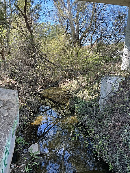
Tar Creek is an 8-mile-long (13 km) mainly southeastward-flowing stream originating on the eastern slopes of the Santa Cruz Mountains, in southern Santa Clara County, California, United States. Tar Creek flows through the Sargent Ranch, once the Rancho Juristac Mexican Land grant. It crosses under U.S. Highway 101 and about 5 miles (8.0 km) south of Gilroy, California joins lower Uvas Creek (also known as Carnadero Creek). From the Tar Creek confluence, lower Uvas Creek flows shortly south to its confluence with the Pajaro River at the Santa Clara County - San Benito County boundary.
Excerpt from the Wikipedia article Tar Creek (Santa Clara County) (License: CC BY-SA 3.0, Authors, Images).Tar Creek (Santa Clara County)
South Valley Freeway,
Geographical coordinates (GPS) Address Nearby Places Show on map
Geographical coordinates (GPS)
| Latitude | Longitude |
|---|---|
| N 36.93 ° | E -121.54166666667 ° |
Address
South Valley Freeway
South Valley Freeway
California, United States
Open on Google Maps


