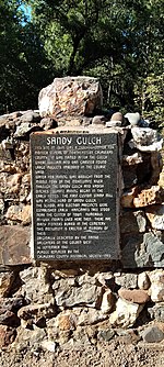
Amador Pines, California
Amador County, California geography stubsCensus-designated places in Amador County, CaliforniaCensus-designated places in CaliforniaUse mdy dates from July 2023
Amador Pines is an unincorporated community and census-designated place (CDP) in Amador County, California, United States. It is located along California State Route 88, bordered to the south by Buckhorn and to the west by Lockwood. The Census Bureau first designated it as a CDP prior to the 2020 census for statistical purposes.
Excerpt from the Wikipedia article Amador Pines, California (License: CC BY-SA 3.0, Authors).Amador Pines, California
Spring Road,
Geographical coordinates (GPS) Address Nearby Places Show on map
Geographical coordinates (GPS)
| Latitude | Longitude |
|---|---|
| N 38.490833333333 ° | E -120.53194444444 ° |
Address
Spring Road 26661
95666
California, United States
Open on Google Maps


