Branciforte

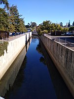
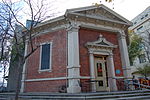
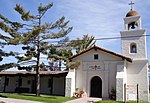
Branciforte, originally named Villa de Branciforte, was the last of only three secular pueblos founded by the Spanish colonial government of Alta California. The pueblo was established in 1797 on the eastern bluff of the San Lorenzo River, facing Mission Santa Cruz on the west side of the river, in modern-day Santa Cruz, California. The pueblo never prospered, and the area was annexed into the city of Santa Cruz, California in 1905. The present day Branciforte Small Schools Campus (BSSC) building is located at what was the center of the Villa de Branciforte. A California State historical marker, number 469, is located outside of the building, too, at the corner of Water Street and Branciforte Avenue.
Excerpt from the Wikipedia article Branciforte (License: CC BY-SA 3.0, Authors, Images).Branciforte
Lechfelder Straße, Lechfeld
Geographical coordinates (GPS) Address Nearby Places Show on map
Geographical coordinates (GPS)
| Latitude | Longitude |
|---|---|
| N 36.98333 ° | E -122.01667 ° |
Address
Lechfelder Straße 5
86836 Lechfeld
Bayern, Deutschland
Open on Google Maps


